Sunday, February 12, 2012

Compounce Ridge and Tunxis Trails

Louise and I did a nice loop hike on the southern section of the Tunxis trail today. It was cold with occasional snow flurries. A great day to be in the woods.
We parked at the end of Panthorn trail. The aptly named Steep Climb trail starts between two houses but then steeply climbs to the ridge. There are occasional views back into the Lake Compounce amusement park. Lots of cool rocks on the way up.

Near the ridge we hit the junction with the Compounce Ridge trail and took it north. The trails runs across a series of bumps, the tallest of which is Compounce Mt.


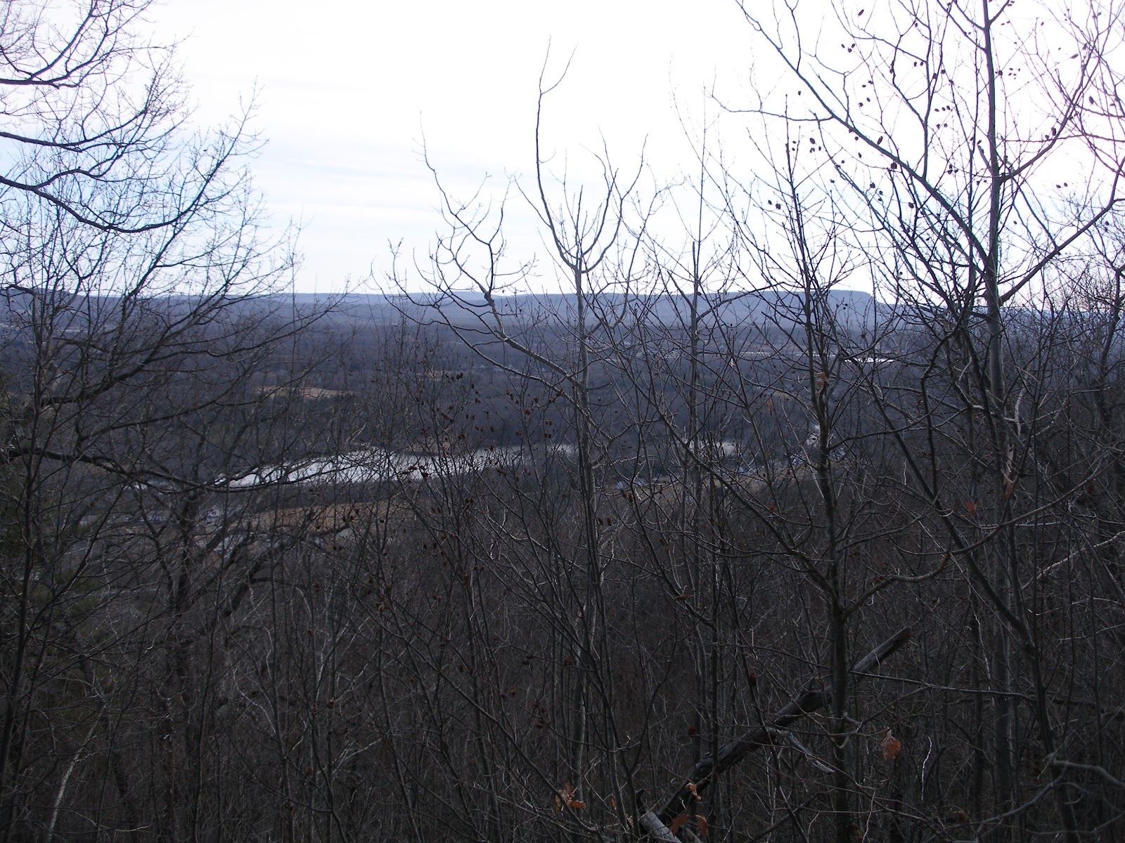
There are a couple of views, mostly east, when up on the ridge.


 You can see the traprock cliffs along the I-91 corridor in the distance.

Near the top of one of the summits is the Not a ski lift. I assume its a ride at Lake Compounce. Nice views back down the lift line.


 Shortly thereafter we picked up the 0.4 mile long Bobcat trail over to the Tunxis Mainline trail which we had hiked on last week. We headed south on the mainline trail, which is mostly a woods road well abused by the ATV riders. Eventually we reached Lilly's Bump and the junction with the south end of the Compounce Ridge trail. We had a nice lunch in the shelter of this rock.


 From Lilly's Bump we continued south on the mainline trail as far as the New Brittain reservoir we visited last week. Here's the picture I regretted not taking last week. At this point we turned around and headed back north.

Back at Lilly's Bump we picked up the Compounce Ridge trail and followed it over Madsen's Bump (partial views) and back down to the Steep Climb trail and eventually to the car.
About 5.8 miles in 3 hours. Nice day out.


Saturday, February 4, 2012

Woodtick-Tunxis-Stonehouse Loop


We parked at the PA on Woodtick road. It was quite small, no more than one or two cars. Nice sunny day, very warm for February. A complete lack of snow on the ground, very disappointing. The large block is obviously to stop ATVs, it was totally ineffective. All of the trails were torn up by them.


The trail starts down an old lane and soon reaches an 18th century burial ground. Pretty cool. Nice fence and hysterical marker.


A bit further down the trail one reaches a more modern cemetery. I assume it's the one mentioned on the plaque. Very scenic dead tree in the middle of the plot.


The trail crosses and follows a series of woods roads, some of which appear to be active. Eventually the trail drops down to the New Brittain reservoir and the main line of the Tunxis trail. A very scenic spot which I neglected to photograph (oops). Continuing south one reaches the dam for the reservoir and the Stonehouse trail. At this point I continued south on the Tunxis trail to its southern terminus on Whitman road. The sign says it was provided by the Southington Sportsman club, who could be heard shooting nearby.


Returning the same way I rejoined my hiking partner at the dam. The photo shows the open area just below the dam which was very pretty with all of the Birch.


The Stonehouse trail climbed back to the ridge. As you can see it is also heavily rutted by ATVs. There is also a fair bit of trash around. We picked up some of it, but the mass of beer and gatorade bottles got to be a bit too much.


Once back on the ridge the trail goes by a series of old stone foundations and a very nice stone lined well. This area has obviously been turned into party center by the local kids. The loop then returns to the cemeteries and then the PA.
The trip was roughly 7.6 miles in a bit over 3 hours.

Saturday, November 12, 2011

Prospect Mt

The Prospect Mt section was my last stretch of the Mattatuck Trail. I parked on Cathole road near the clearly marked trailhead.
 The trail is co-continuous with a yellow blazed trail initially as you go by a bunch of old mine pits. Eventually the blue blazed Mattatuck trail heads left and slabs along side the side of the ridge. It goes through a bunch of interesting rocky areas and ravines.
Eventually it pops out on the south summit which is nice and open but not much in the way of views.
The trail continues along the long summit ridge eventually reaching the north summit which does have some nice views. This is also where the yellow trail comes back in. Evidence of recent logging in the area.
 From the summit the trail drops sharply to a col and then climbs another bump and passes by a grove of old trees labelled the Gagarin Grove. No idea where the name comes from. The trail drops down to another parking area on a dirt road. What appears to be another water filled mine is right by the road.
 I retraced my steps to the north summit and then followed the yellow trail back just for a change. It appears to be a much shorter route. It drops quickly off the ridge through some interesting rocks and then is mostly a woods walk back to the trail junction.
Total hike distance around 3.5 miles and it took a bit under 2 hours. Interesting area to hike and well worth a visit.

Sunday, November 6, 2011

Mattatuck Trail; North end

We had a gorgeous Fall day to go out and check out the Mattatuck trail as it climbs Mohawk Mt. We started at the north end and headed south. The trail quickly leaves the park road and heads into the woods to the Cunningham tower. No idea the history behind this place.
Still some snow on the ground from last weekends early snowstorm. Lots of interesting rocks to climb through on the way up to the summit.

The summit has great views but is prety unattractive with not one but two electronics laden towers.

Nice views southwest.
After leaving the tower the trail winds through the woods, plays tag with a woods road and then comes out on Mohawk pond. A couple was in the process of putting their wooden canoe into the water to do some canoeing.
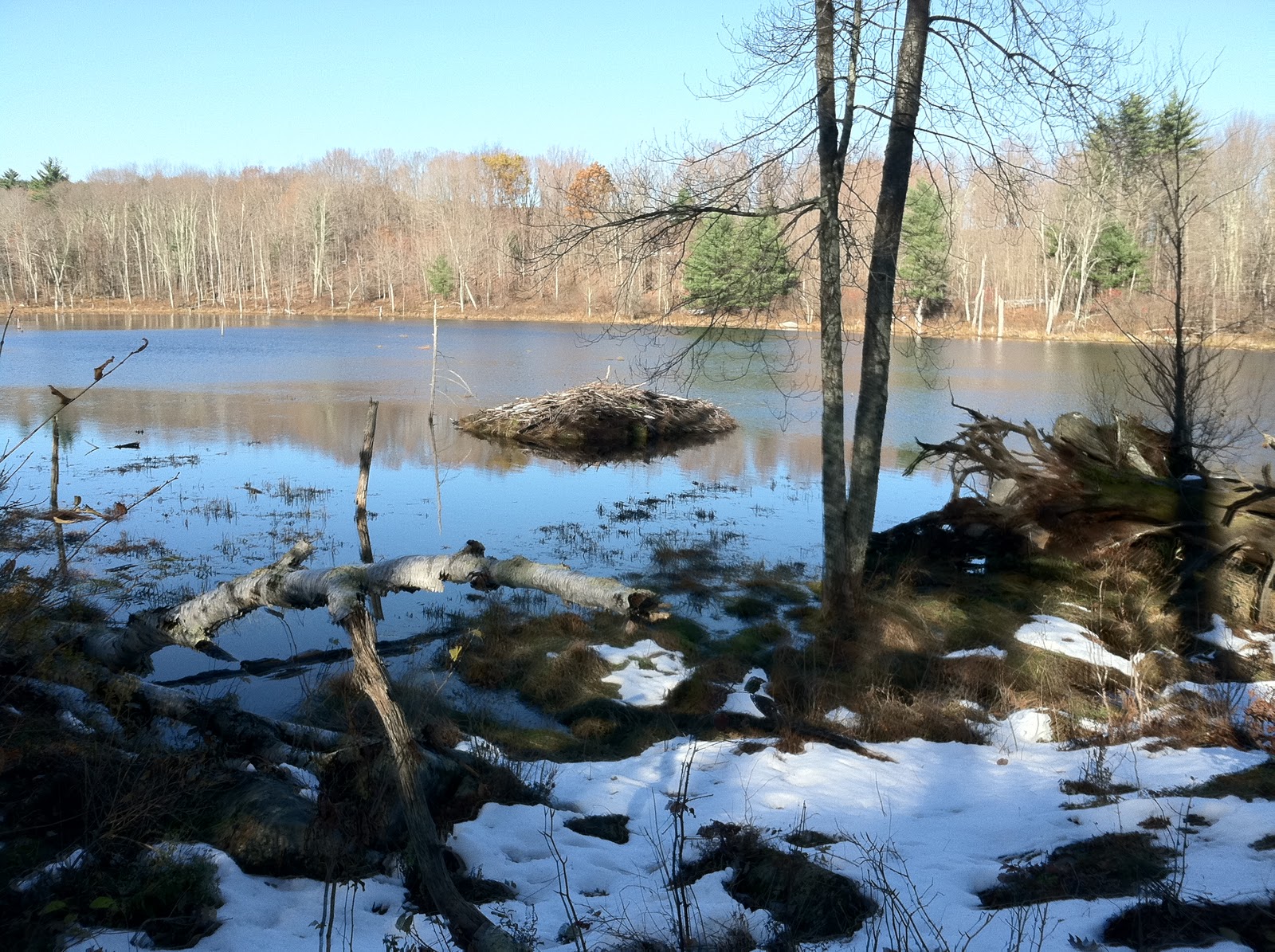
From the pond there is a fair bit of road walk until you hit Perkins road which is an abandonded woods road. It becomes clear why it's abandoned as you quickly hit a beaver dam that is a bit tricky to cross. This is the beaver lodge for that dam. It appears to be active.
After a bit more walking you hit another beaver dam which has been breached. This leads to a short wade in calf deep water (very cold).
After leaving Perkins road there is another stretch of road walk and then a final bit in the woods. Shortly before emerging on the end at Flat Rocks road you pass the Southeast Cemetary. Very pretty little area.
The entire hike took about 3.5 hours including lunch at the summit of Mohawk Mt. The tricky bits are the two beaver dam crossings.

Sunday, October 10, 2010

Naugatuck State Forest (West)

We had previously hiked the Naugatuck trail which is in the east portion of this state forest. The west portion has a lot of woods roads, but no blue blazed trails. It was a gorgeous fall day. We parked at the end of Hunters Mountain road and continued past the gate. About 0.2 miles in there is a letterbox placed by the CT DEP. It was just off of the road and pretty easy to find. We continued along the road to a junction shown on the DEP map, but not the GPS. We continued left at the junction which was just past a very pretty little pond (not shown on either map).


The road continued to drop elevation and then began a large 180° turn to the left. The trail we were looking for was supposed to head right at the end of the turn. We found what we thought was the road and began to climb. Although the trail map showed a woods road, the GPS did not. We climbed to the ridge overlooking the Naugatuck River, although we had no views. The expected trail to the left did not materialize so we just followed the road which headed right and then down. We hit a T intersection at the bottom which was not what we wanted, but at least we thought we new where we were. After a right turn we crossed a ridge and dropped down into another small valley where we took a left.


Just past the turn we dropped into a more narrow portion of the valley which had cliffs on both sides and a large rock jumble on the right.


The trail looped around the end of this ridge and headed back north. We passed by the reservoirs and came back to the pretty little pond and the trail junction back to the car.


It was a short walk back to the car. We figured we covered about 4.3 miles in a bit over 2 hours. Pretty area, but a bit confusing. On the way out we drove down to the bottom of the park right on the RR tracks by the river. Looks like there are a bunch of good (although unblazed) trails there. Worth a return visit.

Friday, June 4, 2010

Mattatuck Tr: RT 63 to White Memorial

I parked at the end of the trail near the entrance to White Memorial Conservation area. I planned to follow the trail SW back to where I had stopped last time on RT 63. It was getting warm and if you look at the map you can see why I was concerned about bugs. I turned out to be right, at least I had my DEET this time.


The conservation area is criss crossed with old carriage roads. I assume this was once someones's estate. It makes for very easy going and the carriage roads seem to be laid out to take advantage of the scenery.


Lots of flowers were out including these mountain laurel. I've been seeing the laurel out for about two weeks now. The bush at our house is also in full bloom.


The trail follows the river for a while and eventually crosses it on this old iron bridge. Good enough for hikers I guess, they won't let cars on it any more.


Nice shelf fungus. The trails just kind of wind through the forest. Very relaxing. Would be great for XC skiing or biking.

Eventually the trail reaches Cranberry pond which is rapidly becoming a bog. Very scenic with lots of flowers and birds flitting about.


These are the first Irises I've seen this season. They looked like they'd been open a while though.


On the way back I walked down this lane of wild flowers. I'm sure they're all roadside weeds, but they were quite pretty.


On the way back I walked by the museum and gift shop. The museum was $6 so I passed. They had a trail map for sale, but it wasn't a very good one.
All in all a bit over 6 miles in a bit under 2 hours. Gotta love carriage paths!

Friday, May 28, 2010

Mattatuck Trail: Norfield Rd to RT 63

I stashed my bike at the small parking area on RT 63 for the White Memorial Conservation area and then drove down to the Norfield Rd parking area in Black Rock SP. It was a gorgeous day but warming quickly. The bugs were already out.


Most of the wild flowers were already gone but I did see these guys. No idea what they are.


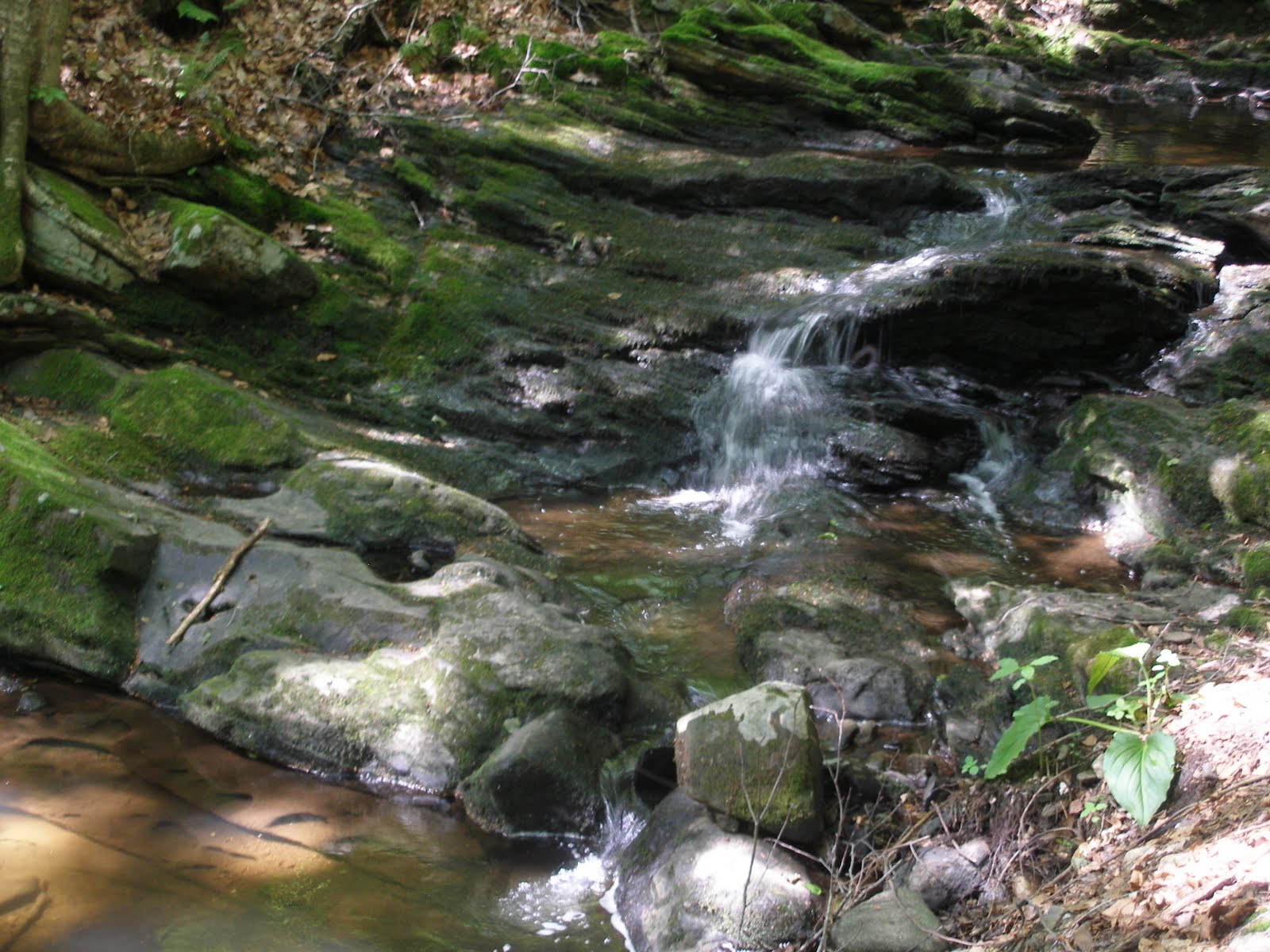
The trail cuts across a number of ridges and ravines so its always either climbing or dropping. A number of the ravines had little waterfalls like this one.


Eventually the trail reached the narrow low ridge shown below. No idea if this is natural, like from a glacier, or man made. It was quite narrow and straight and went for at least half a mile. Odd.


Shortly there after the trail entered the White Memorial Conservation area which has a number of ponds. It looks like they were all originally the work of beavers, but stone dams were added later. There is still a lot of evidence of beaver activity. I found a nice rocky point near one to have lunch. Fortunately there was a breeze which kept the bugs at bay.


The trail looped around this pond, appropriately named Beaver pond, and here are some water lilies near the west shore.


Shortly before reaching RT 63 the trail (actually a woods road) swings by Heron pond. No signs of herons, but lots of beaver activity. I'm not sure why they felt they needed to reinforce the stone dam.


Nice hike all in all but a bit buggy. I tried using picaridin, which is an alternative to DEET. It did not work nearly as well. I'm sticking with DEET in the future. The hike was a bit over 8 miles and then I had a 7 mile bike back to the car. A multisport workout!