Tuesday, September 25, 2012

Tunxis Trail - Nassahegon State Forest

After last weekend's hike at Session Woods we decided to hike the next trail section north.

We parked at the small parking area on Route 4. Not a very inviting trail head. Lots of poison ivy as well.


The trail starts up a nice drainage along side the state fish hatchery. A pretty area. Turned onto the white dot trail shortly after beginning.


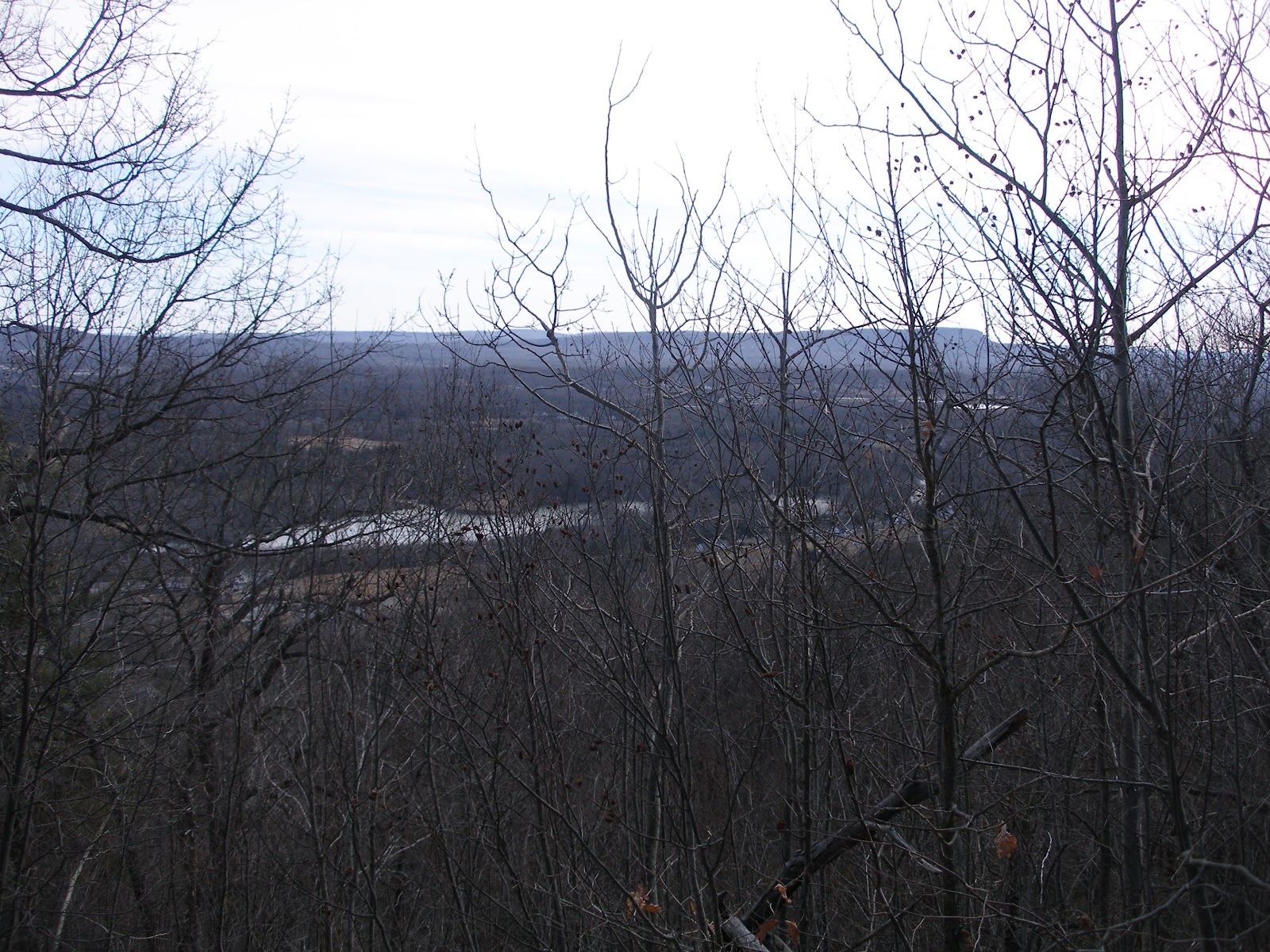
Nice, well maintained trails, but not too exciting.


Once on the green dot trail we hit some ledges and stopped for lunch and a bit of letterboxing. 


 After a bit of a run down to Cornwall road to make the connection we headed out on the Tunxis mainline trail. We passed this interesting jail along the way.


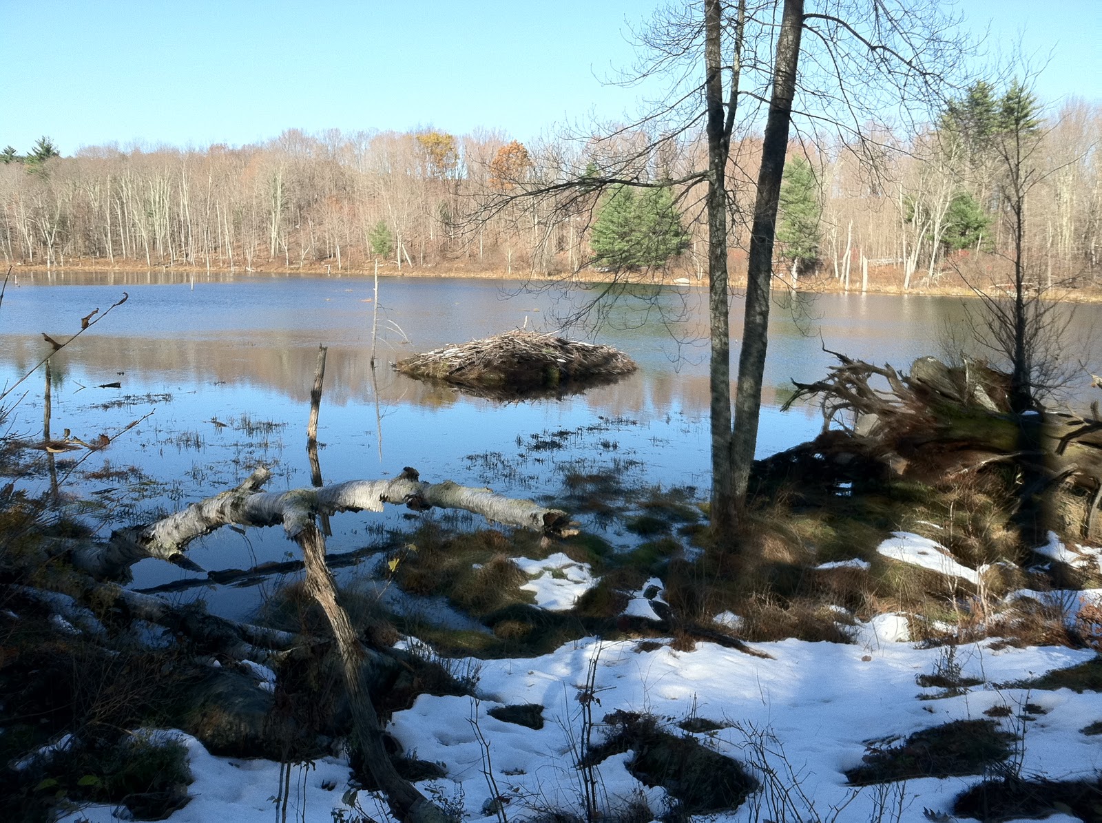
Good area for fungus, lots of different types, this was among the most scenic.


When we got back to the car we found this guy. While carrying him back to the brush I dropped him and had a devil of a time re-locating him in the leaf litter. Excellent camouflage except on a red bumper. 


Nice hike, not too exciting. About 7 hours.

Tunxis Trail - Session Woods


It was a nice day for a walk so we drove up to Session Woods WMA and parked at the visitor's center, which unfortunately was closed. We followed the Beaver Pond trail (aka Tunxis trail) west from the parking lot. The beaver pond trail is a gravel road but after a bit the Tunxis trail turns off and heads into the woods. It remains mostly a woods walk until after you pass the Nature Center connector at which point you drop down, cross a road and then climb up a ridge which eventually becomes a bit of a rock scramble up to the viewpoint. We continued on to Greer road which was our turn around. Back at the 'view' we had a nice lunch on the open rocks. No views, but a nice place.


 Then we navigated our way back down through the ledges, always more fun on the way down.


It is a pretty cool area.


Back at the Nature Center trail we took it back east towards Rt 69. Just before hitting the road we turned north onto a series of paths/roads and camping areas that got us back to the visitors center. About 5.5 miles. A nice walk in the woods.

Saturday, September 1, 2012

Tunxis Trail

Now I remember why we don't hike in the summer, bugs, humidity and heat. Only three weeks until fall!


We parked at the south end of the Burlington section of the trail near the causeway for the reservoir.


The first stretch of trail is on a narrow right of way, at one point through someone's back yard.
Eventually the trail moves away from the road and into the 'mile of ledges' section. Lots of ups and downs.
There are several crevices that need to be squeezed through, this one one the best as it had a blank wall for the climb out.
  Eventually the trail levels out a bit and then reaches Greer road. We did a short road walk back to the yellow dot trail. After a bit of a climb we followed the ridge back. Here we skirted the ledges rather than climbed them.
We also walked through several recently logged areas. The trail became quite overgrown with the new growth in the open areas. We passed several obvious party spots along the ledges but managed to miss the 'Tory Den', a cave where loyalists hid during the Revolutionary war. The yellow dot trail then returned to the mainline trail and we retraced our steps to the car.
Would have been a nice hike except for the bugs/humidity/heat. 6.4 miles in 3 hours.


Sunday, February 12, 2012

Compounce Ridge and Tunxis Trails

Louise and I did a nice loop hike on the southern section of the Tunxis trail today. It was cold with occasional snow flurries. A great day to be in the woods.
We parked at the end of Panthorn trail. The aptly named Steep Climb trail starts between two houses but then steeply climbs to the ridge. There are occasional views back into the Lake Compounce amusement park. Lots of cool rocks on the way up.

Near the ridge we hit the junction with the Compounce Ridge trail and took it north. The trails runs across a series of bumps, the tallest of which is Compounce Mt.


There are a couple of views, mostly east, when up on the ridge.


 You can see the traprock cliffs along the I-91 corridor in the distance.


Near the top of one of the summits is the Not a ski lift. I assume its a ride at Lake Compounce. Nice views back down the lift line.


 Shortly thereafter we picked up the 0.4 mile long Bobcat trail over to the Tunxis Mainline trail which we had hiked on last week. We headed south on the mainline trail, which is mostly a woods road well abused by the ATV riders. Eventually we reached Lilly's Bump and the junction with the south end of the Compounce Ridge trail. We had a nice lunch in the shelter of this rock.


 From Lilly's Bump we continued south on the mainline trail as far as the New Brittain reservoir we visited last week. Here's the picture I regretted not taking last week. At this point we turned around and headed back north.

Back at Lilly's Bump we picked up the Compounce Ridge trail and followed it over Madsen's Bump (partial views) and back down to the Steep Climb trail and eventually to the car.
About 5.8 miles in 3 hours. Nice day out.


Saturday, February 4, 2012

Woodtick-Tunxis-Stonehouse Loop


We parked at the PA on Woodtick road. It was quite small, no more than one or two cars. Nice sunny day, very warm for February. A complete lack of snow on the ground, very disappointing. The large block is obviously to stop ATVs, it was totally ineffective. All of the trails were torn up by them.


The trail starts down an old lane and soon reaches an 18th century burial ground. Pretty cool. Nice fence and hysterical marker.


A bit further down the trail one reaches a more modern cemetery. I assume it's the one mentioned on the plaque. Very scenic dead tree in the middle of the plot.


The trail crosses and follows a series of woods roads, some of which appear to be active. Eventually the trail drops down to the New Brittain reservoir and the main line of the Tunxis trail. A very scenic spot which I neglected to photograph (oops). Continuing south one reaches the dam for the reservoir and the Stonehouse trail. At this point I continued south on the Tunxis trail to its southern terminus on Whitman road. The sign says it was provided by the Southington Sportsman club, who could be heard shooting nearby.


Returning the same way I rejoined my hiking partner at the dam. The photo shows the open area just below the dam which was very pretty with all of the Birch.


The Stonehouse trail climbed back to the ridge. As you can see it is also heavily rutted by ATVs. There is also a fair bit of trash around. We picked up some of it, but the mass of beer and gatorade bottles got to be a bit too much.


Once back on the ridge the trail goes by a series of old stone foundations and a very nice stone lined well. This area has obviously been turned into party center by the local kids. The loop then returns to the cemeteries and then the PA.
The trip was roughly 7.6 miles in a bit over 3 hours.

Saturday, November 12, 2011

Prospect Mt

The Prospect Mt section was my last stretch of the Mattatuck Trail. I parked on Cathole road near the clearly marked trailhead.
 The trail is co-continuous with a yellow blazed trail initially as you go by a bunch of old mine pits. Eventually the blue blazed Mattatuck trail heads left and slabs along side the side of the ridge. It goes through a bunch of interesting rocky areas and ravines.
Eventually it pops out on the south summit which is nice and open but not much in the way of views.
The trail continues along the long summit ridge eventually reaching the north summit which does have some nice views. This is also where the yellow trail comes back in. Evidence of recent logging in the area.
 From the summit the trail drops sharply to a col and then climbs another bump and passes by a grove of old trees labelled the Gagarin Grove. No idea where the name comes from. The trail drops down to another parking area on a dirt road. What appears to be another water filled mine is right by the road.
 I retraced my steps to the north summit and then followed the yellow trail back just for a change. It appears to be a much shorter route. It drops quickly off the ridge through some interesting rocks and then is mostly a woods walk back to the trail junction.
Total hike distance around 3.5 miles and it took a bit under 2 hours. Interesting area to hike and well worth a visit.

Sunday, November 6, 2011

Mattatuck Trail; North end

We had a gorgeous Fall day to go out and check out the Mattatuck trail as it climbs Mohawk Mt. We started at the north end and headed south. The trail quickly leaves the park road and heads into the woods to the Cunningham tower. No idea the history behind this place.
Still some snow on the ground from last weekends early snowstorm. Lots of interesting rocks to climb through on the way up to the summit.

The summit has great views but is prety unattractive with not one but two electronics laden towers.

Nice views southwest.
After leaving the tower the trail winds through the woods, plays tag with a woods road and then comes out on Mohawk pond. A couple was in the process of putting their wooden canoe into the water to do some canoeing.
From the pond there is a fair bit of road walk until you hit Perkins road which is an abandonded woods road. It becomes clear why it's abandoned as you quickly hit a beaver dam that is a bit tricky to cross. This is the beaver lodge for that dam. It appears to be active.
After a bit more walking you hit another beaver dam which has been breached. This leads to a short wade in calf deep water (very cold).
After leaving Perkins road there is another stretch of road walk and then a final bit in the woods. Shortly before emerging on the end at Flat Rocks road you pass the Southeast Cemetary. Very pretty little area.
The entire hike took about 3.5 hours including lunch at the summit of Mohawk Mt. The tricky bits are the two beaver dam crossings.