Sunday, February 12, 2012

Compounce Ridge and Tunxis Trails

Louise and I did a nice loop hike on the southern section of the Tunxis trail today. It was cold with occasional snow flurries. A great day to be in the woods.
We parked at the end of Panthorn trail. The aptly named Steep Climb trail starts between two houses but then steeply climbs to the ridge. There are occasional views back into the Lake Compounce amusement park. Lots of cool rocks on the way up.

Near the ridge we hit the junction with the Compounce Ridge trail and took it north. The trails runs across a series of bumps, the tallest of which is Compounce Mt.


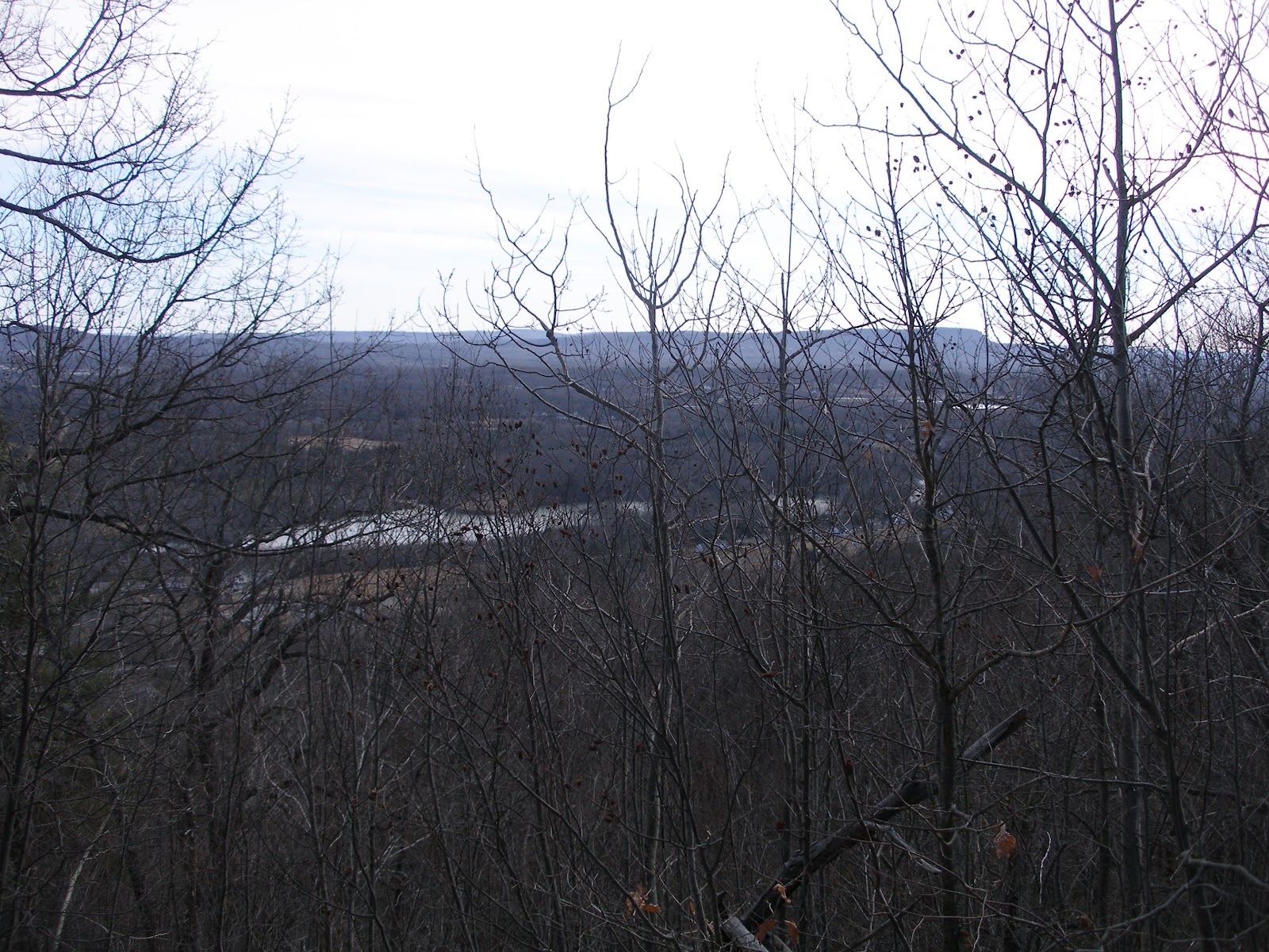
There are a couple of views, mostly east, when up on the ridge.


 You can see the traprock cliffs along the I-91 corridor in the distance.


Near the top of one of the summits is the Not a ski lift. I assume its a ride at Lake Compounce. Nice views back down the lift line.


 Shortly thereafter we picked up the 0.4 mile long Bobcat trail over to the Tunxis Mainline trail which we had hiked on last week. We headed south on the mainline trail, which is mostly a woods road well abused by the ATV riders. Eventually we reached Lilly's Bump and the junction with the south end of the Compounce Ridge trail. We had a nice lunch in the shelter of this rock.


 From Lilly's Bump we continued south on the mainline trail as far as the New Brittain reservoir we visited last week. Here's the picture I regretted not taking last week. At this point we turned around and headed back north.

Back at Lilly's Bump we picked up the Compounce Ridge trail and followed it over Madsen's Bump (partial views) and back down to the Steep Climb trail and eventually to the car.
About 5.8 miles in 3 hours. Nice day out.


Saturday, February 4, 2012

Woodtick-Tunxis-Stonehouse Loop


We parked at the PA on Woodtick road. It was quite small, no more than one or two cars. Nice sunny day, very warm for February. A complete lack of snow on the ground, very disappointing. The large block is obviously to stop ATVs, it was totally ineffective. All of the trails were torn up by them.


The trail starts down an old lane and soon reaches an 18th century burial ground. Pretty cool. Nice fence and hysterical marker.


A bit further down the trail one reaches a more modern cemetery. I assume it's the one mentioned on the plaque. Very scenic dead tree in the middle of the plot.


The trail crosses and follows a series of woods roads, some of which appear to be active. Eventually the trail drops down to the New Brittain reservoir and the main line of the Tunxis trail. A very scenic spot which I neglected to photograph (oops). Continuing south one reaches the dam for the reservoir and the Stonehouse trail. At this point I continued south on the Tunxis trail to its southern terminus on Whitman road. The sign says it was provided by the Southington Sportsman club, who could be heard shooting nearby.


Returning the same way I rejoined my hiking partner at the dam. The photo shows the open area just below the dam which was very pretty with all of the Birch.


The Stonehouse trail climbed back to the ridge. As you can see it is also heavily rutted by ATVs. There is also a fair bit of trash around. We picked up some of it, but the mass of beer and gatorade bottles got to be a bit too much.


Once back on the ridge the trail goes by a series of old stone foundations and a very nice stone lined well. This area has obviously been turned into party center by the local kids. The loop then returns to the cemeteries and then the PA.
The trip was roughly 7.6 miles in a bit over 3 hours.