We had a gorgeous Fall day to go out and check out the Mattatuck trail as it climbs Mohawk Mt. We started at the north end and headed south. The trail quickly leaves the park road and heads into the woods to the Cunningham tower. No idea the history behind this place.
Still some snow on the ground from last weekends early snowstorm. Lots of interesting rocks to climb through on the way up to the summit.
The summit has great views but is prety unattractive with not one but two electronics laden towers.
Nice views southwest.
After leaving the tower the trail winds through the woods, plays tag with a woods road and then comes out on Mohawk pond. A couple was in the process of putting their wooden canoe into the water to do some canoeing.
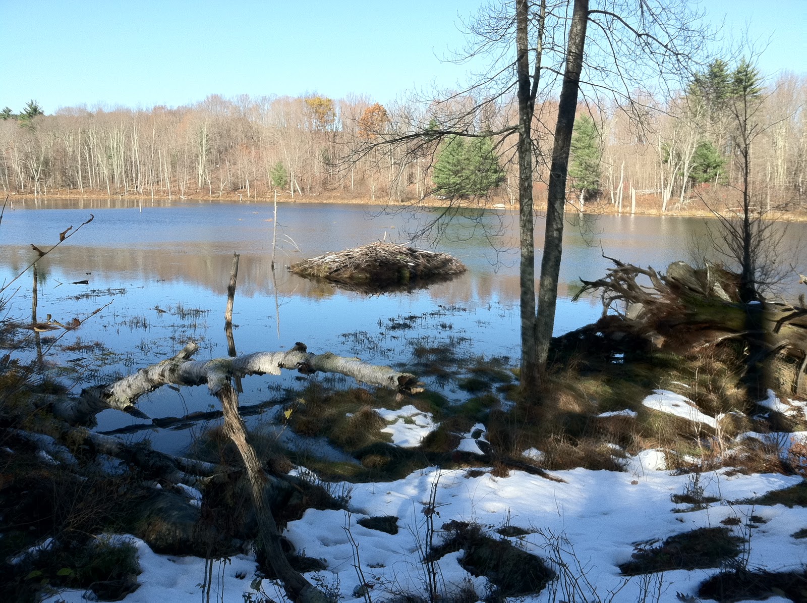
From the pond there is a fair bit of road walk until you hit Perkins road which is an abandonded woods road. It becomes clear why it's abandoned as you quickly hit a beaver dam that is a bit tricky to cross. This is the beaver lodge for that dam. It appears to be active.
After a bit more walking you hit another beaver dam which has been breached. This leads to a short wade in calf deep water (very cold).
After leaving Perkins road there is another stretch of road walk and then a final bit in the woods. Shortly before emerging on the end at Flat Rocks road you pass the Southeast Cemetary. Very pretty little area.
The entire hike took about 3.5 hours including lunch at the summit of Mohawk Mt. The tricky bits are the two beaver dam crossings.